Pioneering Ground Moisture Monitoring: MultiMiner’s Second Field Campaign at Ihalainen Mine
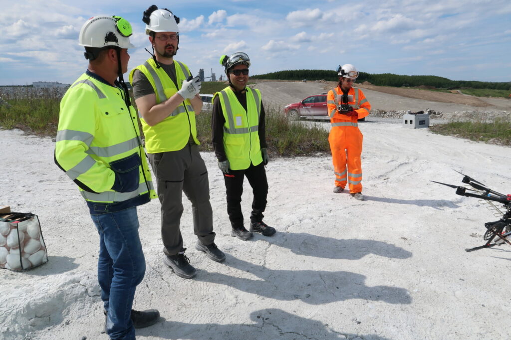
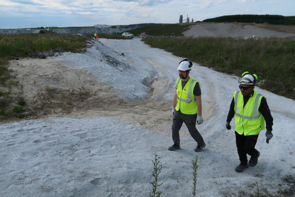
Between 17th-20th June 2024, MultiMiner partners GTK (Geological Survey of Finland) and VTT (Technical Research Centre of Finland) carried out their second field campaign at the Nordkalk Ihalainen mine site. The work, overseen by Nordkalk’s Environmental Manager Hanna Kukkula, Resource Geologist Johanna Huitti, and Safety Manager Ulla Salmela, focused on ground moisture monitoring—an essential part of advancing our understanding of soil conditions in mining environments.
This campaign combined cutting-edge drone-based remote sensing technologies with on-the-ground data collection to ensure precise monitoring and modelling of soil moisture.

A Closer Look at the Work on Site
Building on the success of the first campaign in October 2023, the team installed an additional four IoT-enabled soil moisture sensors, bringing the total to 15 active sensors across the site. These new installations were carefully positioned:
- In a vegetation-covered mineral soil area on a hill east of the open pit.
- East of the tailings pond, covering flotation sand, clay-dominated soils, and vegetated areas.
To ensure reliable data transmission, all sensors were placed on wooden poles, 1 metre above ground, with measuring probes buried 5 cm below the surface. The volumetric water content is measured and sent to receiver stations using Lorawan IoT devices, while additional dielectric constant values were recorded using handheld probes to fine-tune sensor calibrations.

Drone Technology Leading the Way
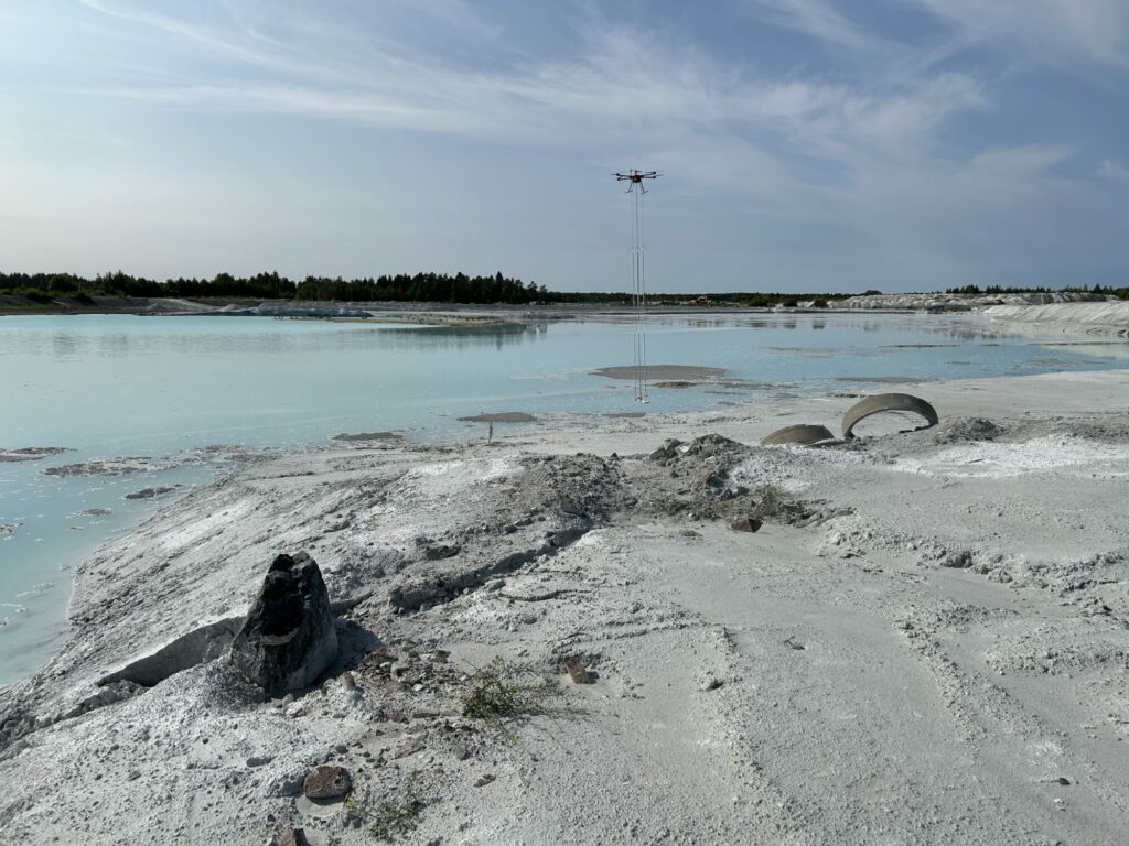
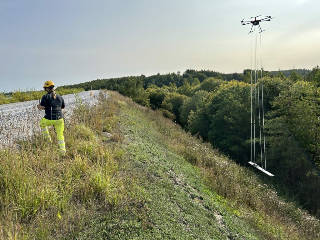
The field campaign also featured drone-borne Synthetic Aperture Radar (SAR), thermal, and visible-range imaging. Equipped with a multifrequency SAR sensor capable of operating at P, L, and C microwave bands, the drone collected high-resolution images with a level of detail previously unattainable using satellite-based sensors.
This advanced technology allows the team to:
- Retrieve accurate soil moisture data across different soil and vegetation types.
- Achieve finer spatial resolution and better accuracy due to the varying sensitivity of each frequency band to moisture.
Significantly, this campaign marked a historic milestone: to the best of our knowledge, it was the first time SAR data was collected at P-band frequency in Finland.

Collaboration in Action
The successful flight missions were carefully planned and executed in collaboration with Surveyar Ltd. (UK), GTK, and VTT teams. On-site project members included Maarit Middleton, Oleg Antropov, Alireza Hamedianfar, Heikki Sutinen, and Hannele Hallett.
The collected drone SAR imagery will be combined with in-situ soil moisture measurements to train and calibrate soil moisture inversion models. These models will allow for accurate, site-wide predictions of soil moisture conditions, supporting more effective environmental monitoring and resource management.

Why This Matters
Accurate soil moisture monitoring is crucial for understanding the environmental dynamics of mining sites. By integrating drone-based SAR technology with ground-based sensors, MultiMiner is creating innovative, scalable solutions that advance sustainable mining practices.
This second field campaign at Ihalainen highlights our commitment to using the latest technologies to generate reliable, actionable data—and to pushing the boundaries of environmental monitoring in the mining sector.
Stay tuned for more updates on our fieldwork campaigns and results on the MultiMiner website and follow us on LinkedIn to keep up with the latest news!